
VCL (Vegetation Canopy Lidar)
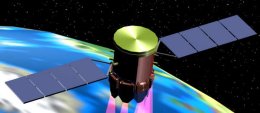
VCL (Vegetation Canopy Lidar) was a spacecraft that would have used a radar-like imaging technique called lidar (light detection and ranging) to map the height of the world's forests to an accuracy of one meter. VCL would have shone five laser beams onto the forest's canopy. By reconstructing the reflected light, the satellite would have produced an accurate map of both the heights of the trees as well as the topography of the underlying terrain. The data would have been used to calculate the density and mass of the world's vegetation, giving scientists the ability to monitor the forest's capacity to absorb carbon dioxide. In addition, the satellite would have provided the first accurate estimation of how much carbon is being released into Earth's atmosphere through the burning of tropical rainforests. VCL was the first mission to be selected in NASA's ESSP (Earth System Science Pathfinder) program but is no longer being actively developed.

