
GOES (Geostationary Operational Environmental Satellite)
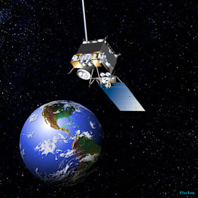
Artist's concept of GOES-N.
GOES (Geostationary Operational Environmental Satellite) is a series of weather satellites that superceded the SMS (Synchronous Meteorological Satellite) program and, since the late 1970s, has formed the backbone of short-term weather forecasting in the United States. The real-time data gathered by GOES satellites, combined with measurements from Doppler radars and automated surface observing systems, is disseminated by NOAA (National Oceanic and Atmospheric Administration) and helps weather forecasters provide warnings of thunderstorms, winter storms, flash floods, hurricanes, and other severe weather. Two GOES satellites must be active and correctly located in geosynchronous orbit (at 75° W and 135° W) to be able to monitor continuously Earth's full disk about the meridian approximately in the center of the continental United States.
Like their predecessors, the latest in the series, GOES-M (launched in 2001) and GOES-N (launched in 2006), are equipped with flexible-scan imaging systems and sounders, allowing scientists to collect information about cloud cover, wind speed, temperature, moisture, and ozone levels. But they also carry solar X-ray imagers to provide early detection of especially violent solar activity. Such monitoring systems will give scientists advance warning of possible disruptions in the upper atmosphere-disruptions that in the past have led to spectacular auroras as well as devastating power outages.

